The Road
Hol–Aurland: a ferry-free link to western Norway
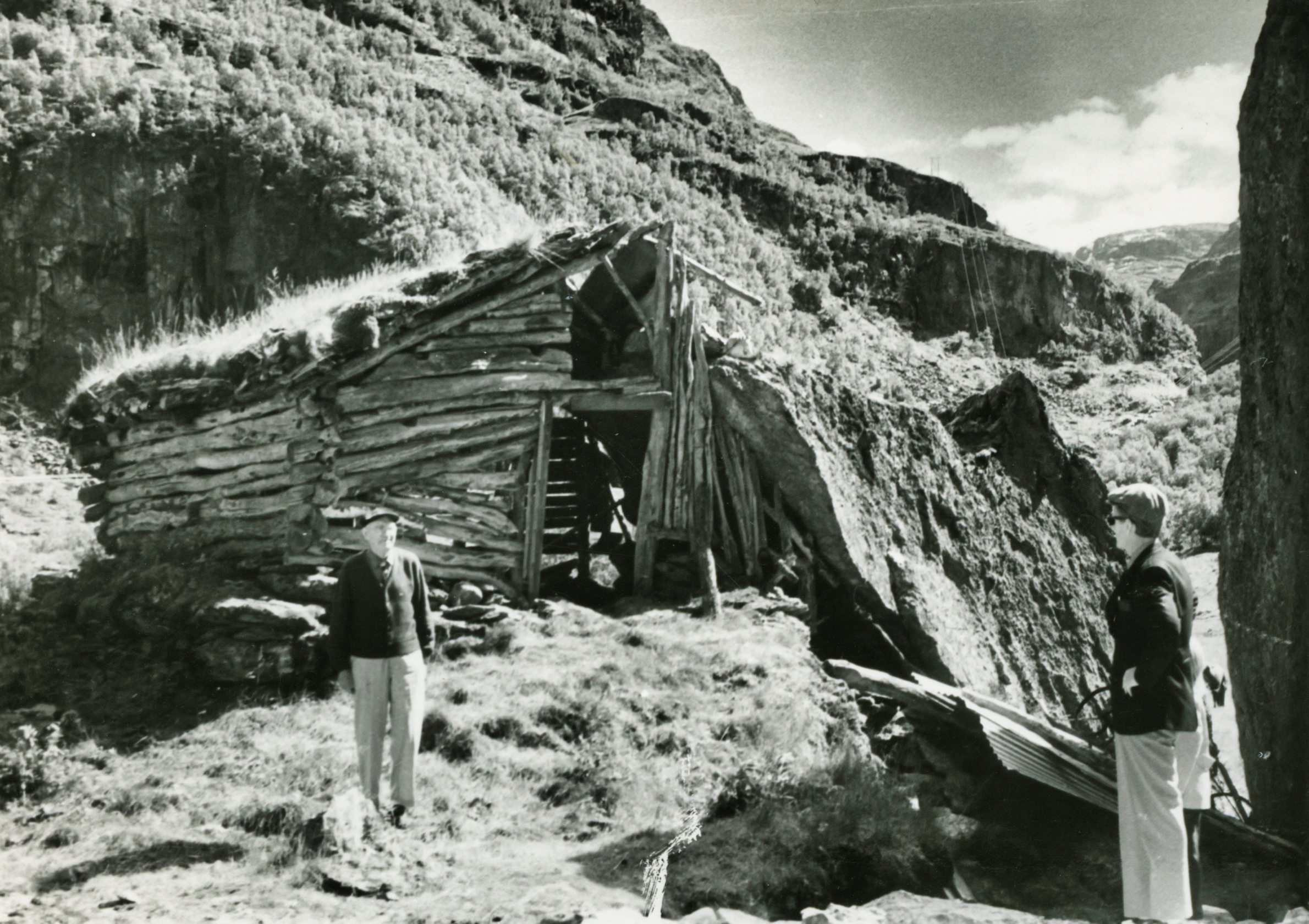
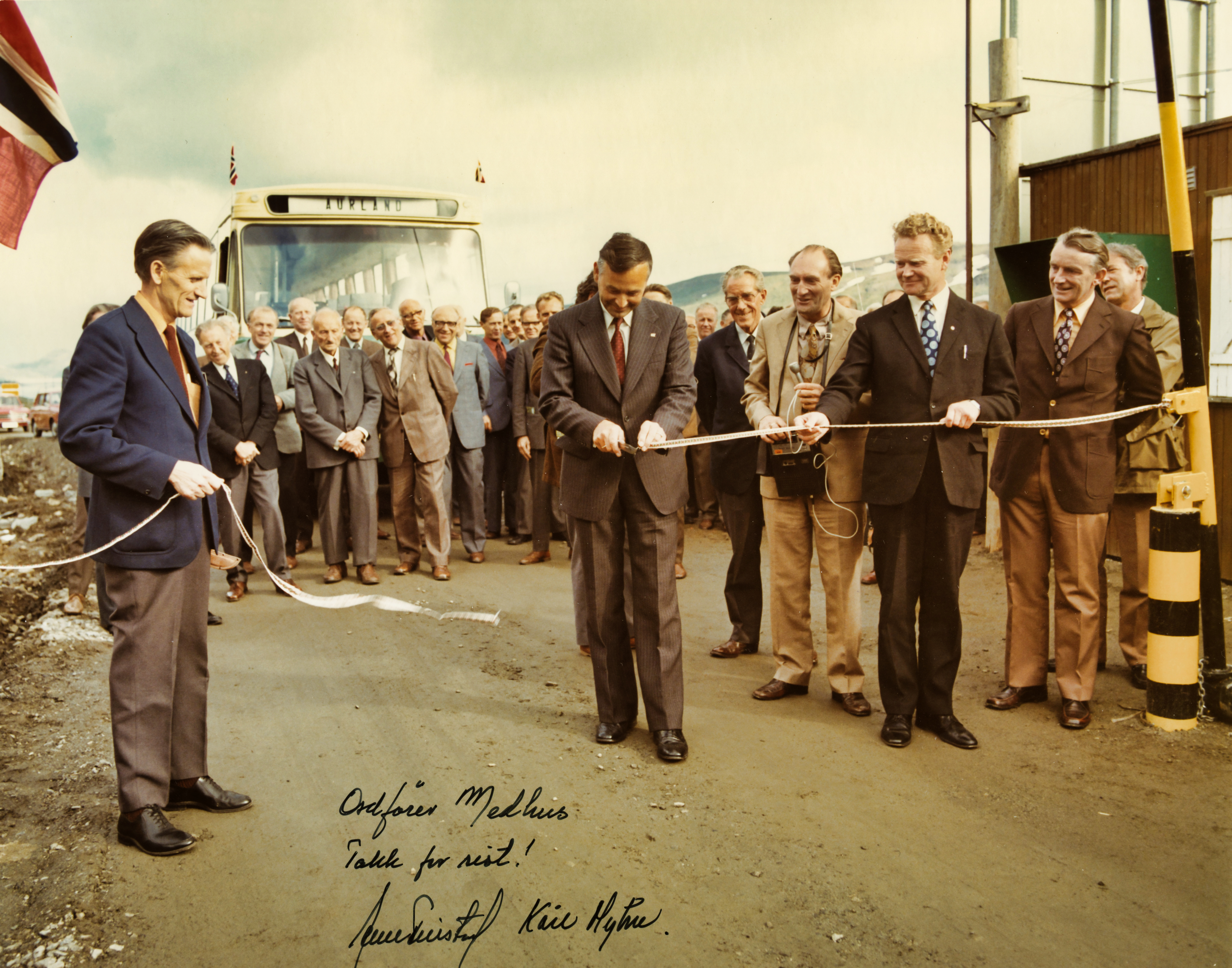
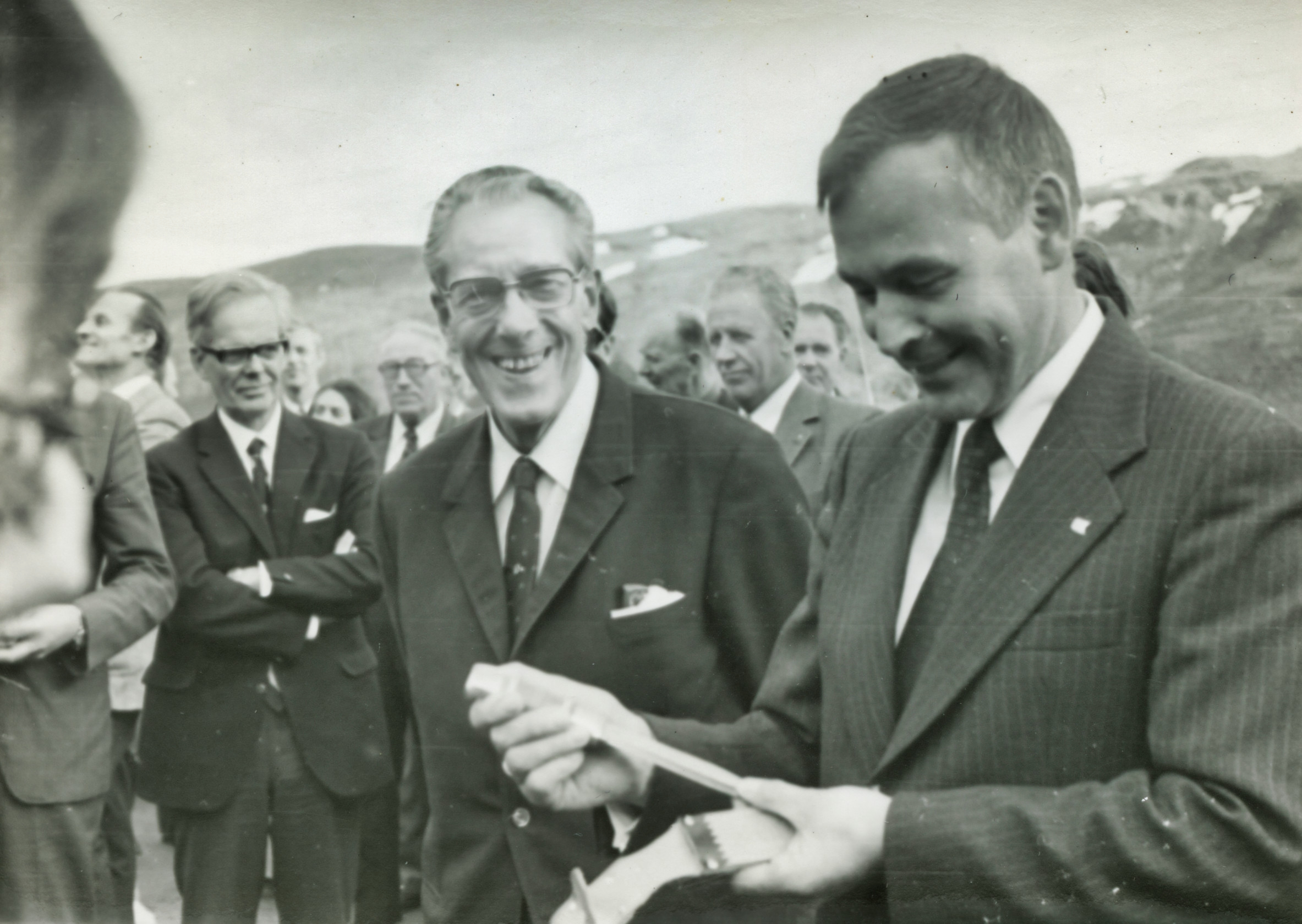
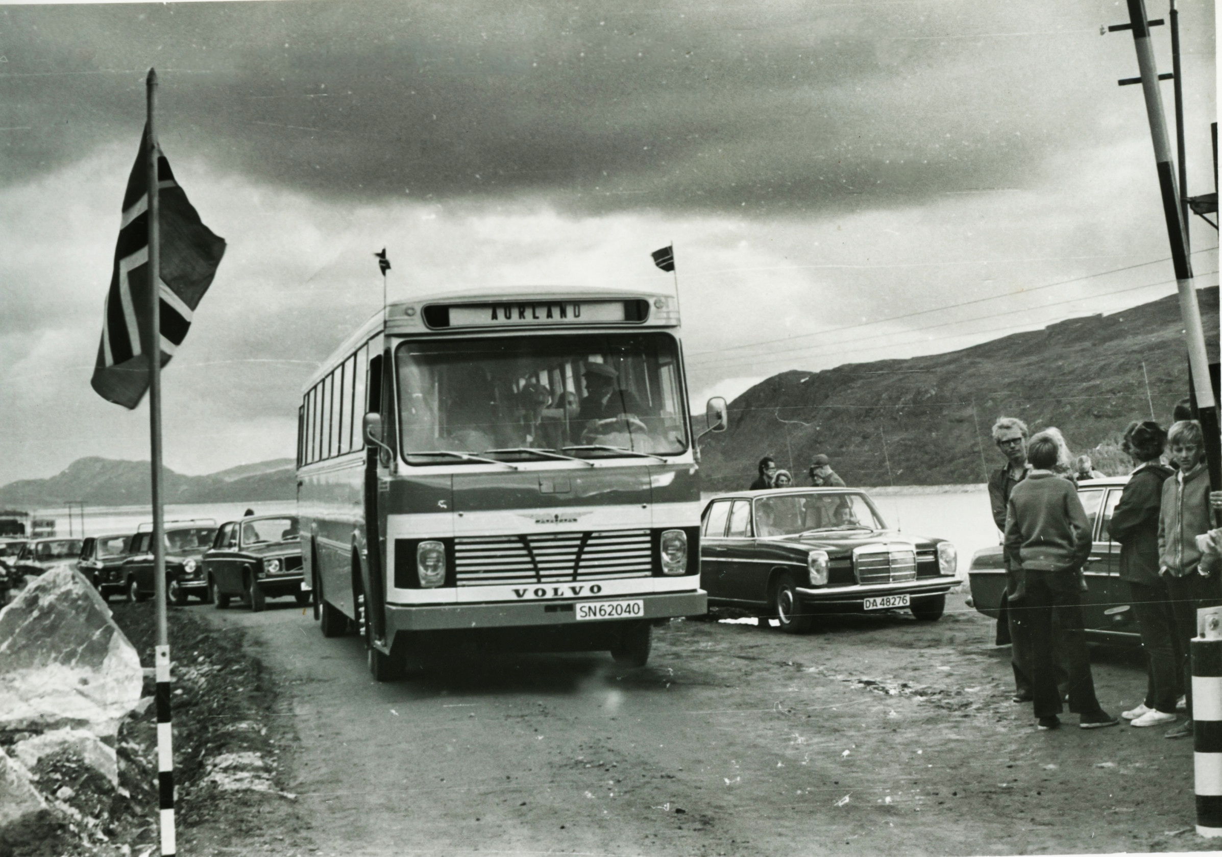
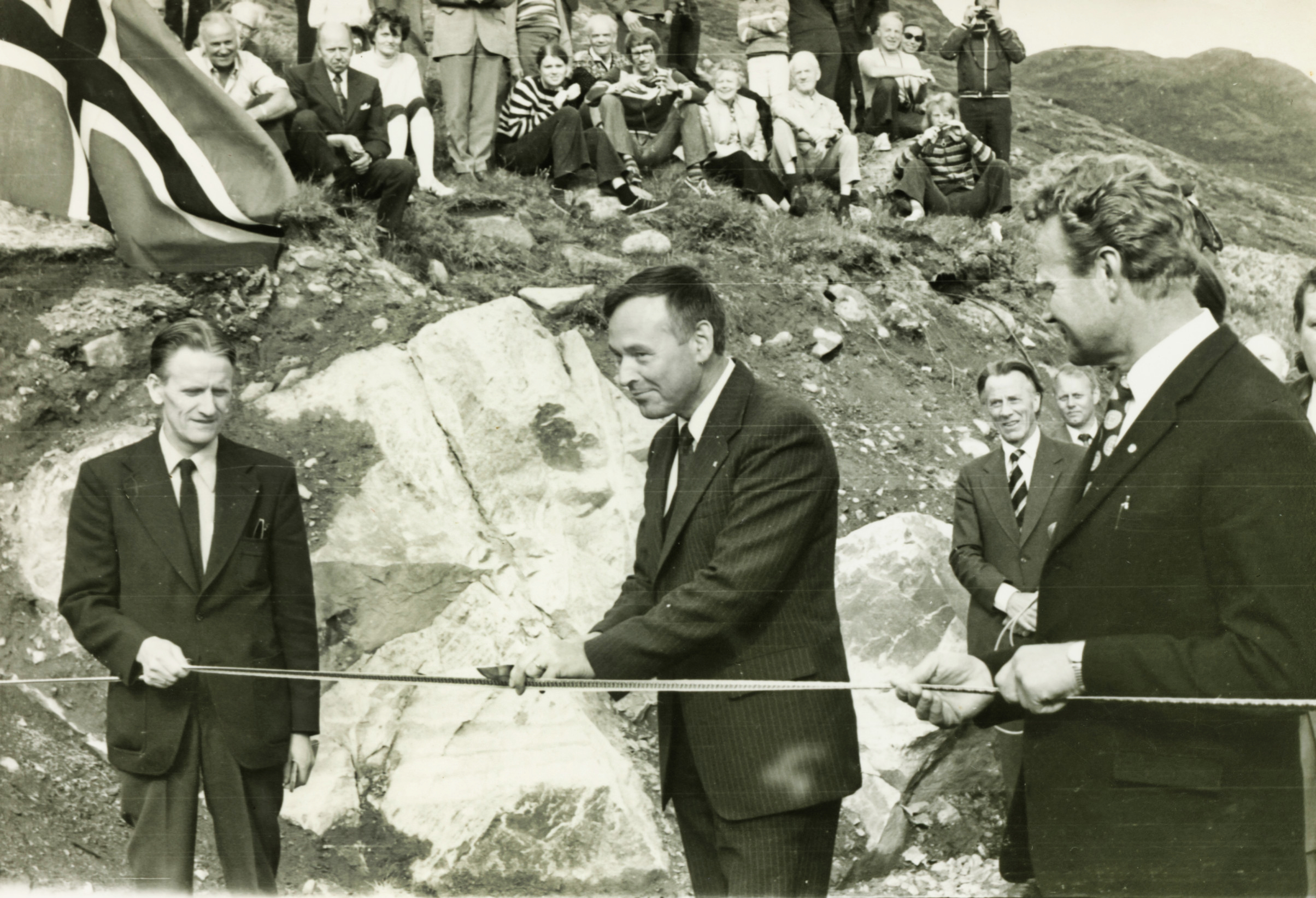
The Hol–Aurland road officially opened in July 1974. The Geiterygg Tunnel Company was responsible for the road, while Oslo Lysverker took on its maintenance. Once Oslo Lysverker had finished its hydropower development in Aurland, the company wanted to be released from that responsibility. The Norwegian Public Roads Administration took the road over as a national road on 1 January 1985, and the Geiterygg Tunnel Company was dissolved the same year. The road was to be kept open year-round, and until 1993 Oslo Lysverker was to pay 1.5 million kroner a year towards maintenance.
On the initiative of Osvald Medhus, the head of the tunnel company, a committee was set up in 1973 to work on linking the road to the rest of the road network in western Norway. The committee — named the «Committee for the continuation of the Aurland road» — had members from seven municipalities, including Oslo and Bergen. The aim was to build a ferry-free link between east and west, and at the same time to promote the Aurland road as an option in the tug-of-war over where the trunk road between Oslo and Bergen should run.
At the time the Directorate of Public Roads envisaged the main link running over Hardangervidda in summer and over Haukeli in winter. The ministry, however, wanted to back the Aurland road. It would be the cheapest ferry-free link, and choosing Hol–Aurland would also make use of the large investments Oslo Lysverker had already made.
In 1975 the Storting chose the route over Filefjell as the future trunk road between Oslo and Bergen. Hol–Aurland was nonetheless to be built to ordinary national-road standard and become part of a ferry-free east–west link. Osvald Medhus, who was also mayor and head of development in Hol, said he was satisfied with the decision. The main thing for Hallingdal, he said, had to be that Hol–Aurland became a year-round connecting road between the regions.
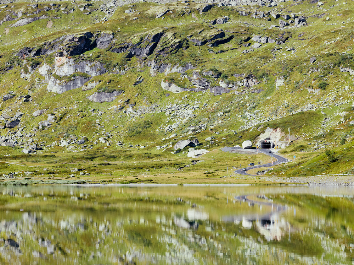
After the state took over in 1985, the road was upgraded as a year-round national road. The Geiterygg tunnel was widened and reopened in November 1991.
At the same time, a new road westward from Aurland to Voss was being built. On 17 December 1991 the toll gate opened for the long tunnels between Gudvangen and Flåm. With that, a year-round ferry-free link between Oslo and Bergen was established. The official opening was held at Fleischers Hotel in Voss on 27 May 1992. Osvald Medhus presented road director Eskild Jensen with a pair of bridal spoons made by Oddemann Haugen. The bride was Bergen and the groom Oslo, he said. A chain joined them — and the chain was not unnecessarily long, for those who want to meet take the shortest road. The national road that had previously carried the number 288 now became number 50, with green signs.
Hol–Aurland loses the trunk-road battle
The trunk-road route the Storting had chosen in 1975 was to follow the fjord between Lærdal and Aurland, a stretch of 59 kilometres. It was a costly and demanding piece of road. Two other options over the mountain were no simpler. While the matter was under review, the Storting followed up its interim trunk-road decision and granted funds for the Aurland road to make it easier to plough and to shorten driving time.
Through Vassbygdi and up Låvisberget to Grimsete a stretch of poor standard remained. Several options had been studied there. Option I followed the construction road up Låvisberget. Option II followed the south side of the watercourse from Fossheim up to Grimsete. The Directorate of Public Roads wanted Option II, but minister Kjell Borgen stuck to the steep and winding construction route.
The transport committee came on an inspection, and a majority recommended building a new road from Fossheim to Grimsete along Option II. The minority wanted to send the matter back for renewed treatment in Sogn og Fjordane county. Somewhat unexpectedly, the motion to postpone won a majority. The Labour Party representatives from Buskerud were against it but voted for it anyway — they believed the postponement motion would be voted down without their votes. That decision may have been decisive in Hol–Aurland losing the trunk-road battle.
By the time the matter returned to the Storting, there had been a general election and a change of government. In the autumn of 1989 Jan P. Syse replaced Gro Harlem Brundtland. The new transport minister, Lars Gunnar Lie, favoured finishing the road over Hol–Aurland before proceeding with the trunk-road decision over Filefjell.
Building the road from Fossheim to Grimsete on the south side of the watercourse would give a cheap and fast ferry-free east–west link. In the summer of 1990 the Directorate recommended that National Road 7 to Hagafoss and the road onward to Aurland and Bergen become a trunk road numbered E16. The government proposed setting aside 357 million kroner for the road over a three-year period. The signals created enthusiasm in Hol, which read the grants as a sign that the road might become a permanent trunk road.
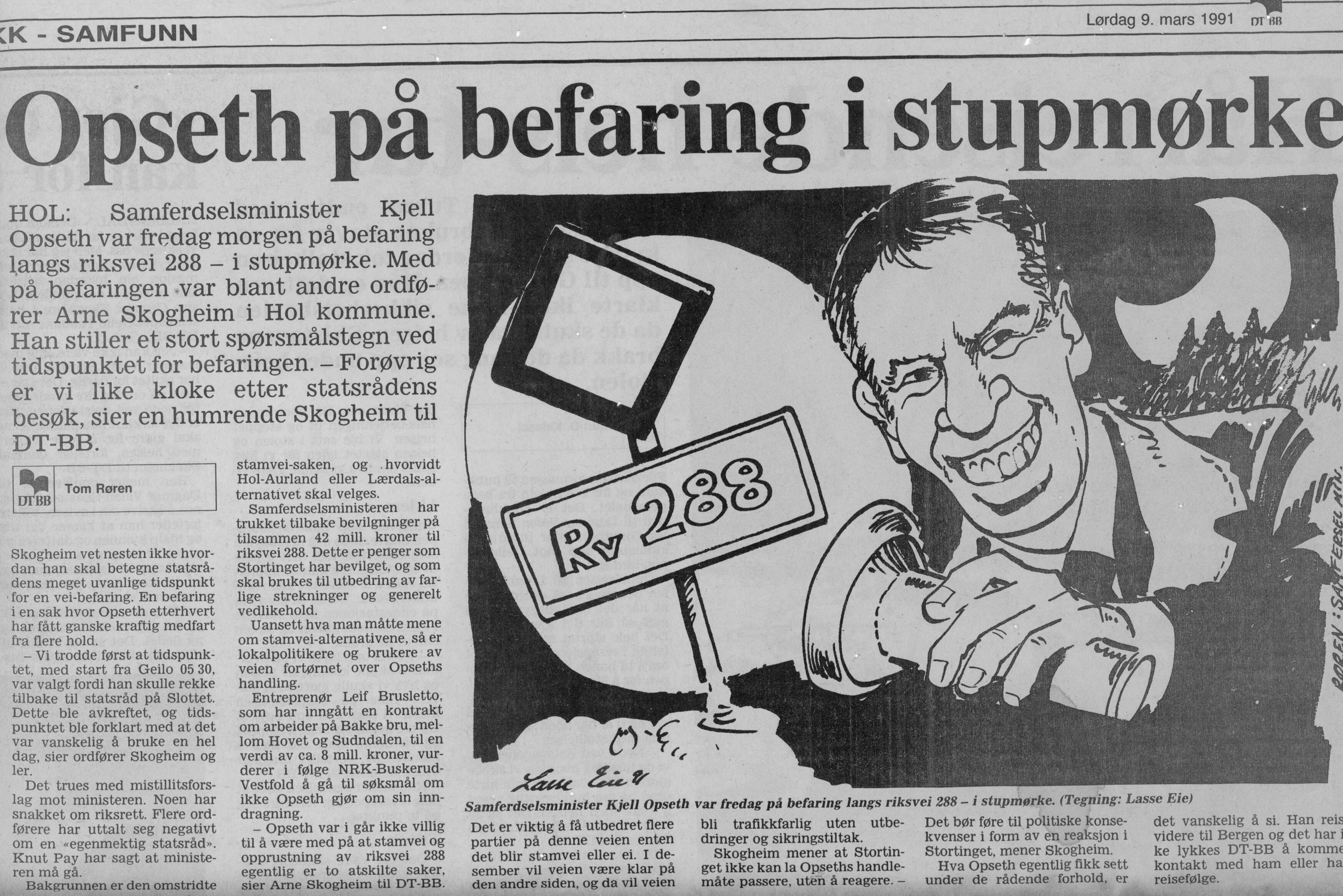
On 3 November 1990 Syse’s coalition government fell, and Gro Harlem Brundtland took over for a third time, this time with Kjell Opseth as transport minister. He immediately withdrew the trunk-road report and halted the grants for upgrading the Aurland road. Not a krone was to be spent on Hol–Aurland, he said, until the final route for the trunk road had been decided.
In March 1991 improvements to a few new stretches were nonetheless allowed, including a new bridge at Bakken between Hove and Sunndalen. Opseth’s trunk-road report came in June 1991. He stuck to Filefjell. From Lærdal to Aurland he rejected both the fjord line and the mountain line and proposed instead a 24.5-kilometre tunnel straight through the mountain. It would become the longest road tunnel in the world.
The Storting was presented with an account comparing the cost of the Lærdal tunnel with a full upgrade to 8.5-metre trunk-road standard for the whole Hol–Aurland road. The cost of bringing the national road through Valdres, over Filefjell and down Lærdal up to full trunk-road standard was not included. The majority in the Storting accepted the arithmetic trick. Opseth also secured the votes of the Socialist Left Party by promising that the Ringerike railway would be built. The Storting made its final decision in June 1992. In his 1999 book, Osvald Medhus wrote that the Storting’s trunk-road decision was built on a bluff.
Because the Storting chose to build the Lærdal tunnel, no new road came through Vassbygdi on the south side of the watercourse. Nor was the old road up the steep bends of Låvisberget upgraded. These stretches still have a lower standard than the rest of National Road 50. The Aurland road committee tried to get the road authorities to use spoil from the Lærdal tunnel to upgrade the road through Vassbygdi. Instead the spoil was tipped into the fjord between Aurland and Flåm.
Work on the Lærdal tunnel began on 15 March 1995, and the breakthrough came on 3 September 1999. King Harald opened the road on Monday 27 November 2000.
Two routes west through Hol
About a third of the tourism traffic in Hol originates in western Norway. That explains the strong commitment shown to the roads towards the west. After the Hol–Aurland road opened in 1974, two summer roads to western Norway ran through Hol. National Road 7 over Hardangervidda took most of the traffic, and most of the heavy traffic went that way. The road to Aurland was a tourist road with around 20,000 cars a year. From 1985 Hardangervidda was as a rule open in winter, and the same year the Roads Administration began ploughing Hol–Aurland.
After the ferry-free link opened in 1992, the Hol–Aurland road saw strong traffic growth. The record at Easter 1992 was 2,400 cars in a single day. Figures from 1997 show that Hardangervidda still had the most traffic with 289,000 cars a year, while 202,000 drove Hol–Aurland. National Road 7 had the most summer traffic, while the majority chose Hol–Aurland in winter.
More and more lorries also chose Hol–Aurland, even though the road could be a challenge for drivers. It had almost twice as many cars a year as the trunk-road route through Valdres over Filefjell. National Road 52 over Hemsedalsfjellet was also well ahead of Filefjell.
The opening of the Lærdal tunnel in November 2000 immediately changed the traffic pattern. In the very first week, traffic over Hol–Aurland fell by 60 per cent, while traffic over Hemsedalsfjellet rose by almost 40 per cent. Hardangervidda also saw some reduction but was little affected by the new situation; it was still the shortest and fastest route over the mountain. Most of the traffic was holiday travel, and about half were western Norwegians heading for Hol. Almost the entire decline on Hol’s two mountain crossings moved to Hemsedalsfjellet.
The trunk road over Filefjell saw a smaller increase. In Hallingdal it was repeatedly argued that there was no match between traffic development and road funding. Hallingdal had three mountain crossings, while Valdres got the money. For every lorry through Valdres, four went through Hallingdal.
To increase pressure on the authorities, Hallingdal allied with Hordaland, which had the greatest interest in the road over Hardangervidda. Sogn og Fjordane was well served by Filefjell and Hemsedalsfjellet. Since trunk-road money was earmarked in the state budget, while other national roads had to compete for the funds the counties received for distribution, it became an important goal for Hallingdal to gain trunk-road status for the through roads here. Hemsedalsfjellet, with the most traffic, was at the front of the queue.
In addition to heavy traffic, the road to Hemsedal also had heavy weekend traffic with an aggressive driving pattern. In 2001 municipalities, county authorities and business interests founded the Rv7 Stakeholder Company to work for a socially useful development of the road, also with a view to gaining trunk-road status — not only to Gol, but onward over the mountain towards the west. In 2002 the Directorate proposed that National Road 7 to Gol and National Road 52 onward to Lærdal be given trunk-road status alongside E16 through Valdres. In 2005 the Hønefoss–Borlaug stretch received its first trunk-road funds over the state budget. The sum was only 10 million kroner, but still a signal that the stretch was now part of the trunk-road network.
In Hallingdal a certain conflict of interest arose. Lower Hallingdal managed well with Hemsedalsfjellet and Hardangervidda. In Hol, the Geilo district was most interested in National Road 7 over Hardangervidda and hoped the Hardanger bridge would before long provide a ferry-free link that way too.
In February 2006 the Storting decided, by 79 votes to 24, to build the bridge, expected to be finished in 2013. With a span of 1,380 metres and towers almost 200 metres high, the Hardanger bridge would become one of the longest suspension bridges in the world. The decision strengthened traffic solutions in Hallingdal relative to Valdres, and it strengthened Hardangervidda relative to Hol–Aurland.
In 2008 another element entered the picture when the Directorate proposed that National Road 7 west of Gol be reclassified as a county road. The proposal was not carried out, but National Road 50 from Hol to Aurland became a county road from 2010.
Winter-closed mountain passes
In the competition between Hardangervidda and the Aurland road, the question of winter ploughing became central. Hol’s elected representatives have always held that both must be ploughed. By agreement between the road offices in Buskerud and Hordaland, Hordaland was given responsibility for ploughing over Hardangervidda. Of a crew of ten, three were stationed on the eastern side. At night, private contractors took over and ploughed as needed.
In the winter of 1995/96, road director Olav Søfteland wanted to close National Road 7. Since Hol–Aurland provided a year-round winter link to western Norway, he argued, one could manage without Hardangervidda. The proposal caused a great stir in both east and west. The Hordaland road office solved the problem that year by finding two million kroner through budget reprioritisation.
On Hardangervidda, 2000 was a difficult year with the road closed for 32 days. Concern for the wild reindeer also caused problems. In 2003 the Directorate for Nature Management and the Directorate of Public Roads made an agreement on closing the road periodically at short notice when the reindeer migrated. The Hordaland road office suggested that the most difficult stretches should be put in tunnels — that could solve the ploughing problems and at the same time give safe winter crossings. In April 2006 the Roads Administration presented a plan for tunnel solutions in several construction stages. The whole plan would cost over a billion kroner. Such questions do not get quick answers, and in the meantime the debate over winter ploughing continued.
In 2008 it cost 26.6 million kroner to plough the three mountain crossings from Hallingdal to western Norway. Well over half went to National Road 7 over Hardangervidda. Traffic grew, which strengthened the road in the battle for budget kroner.
The future has been just as uncertain for National Road 50 over Hol–Aurland. After more than ten years of a winter-open road, a new travel pattern had taken hold. Western Norwegians had begun using the area as their new holiday country. By 2000 Opseth was no longer at the helm. Even so, the threat of closure looked set to become serious once the Lærdal tunnel had opened. Both the Directorate and the ministry recommended closure.
A man from Bergen who had bought a cabin plot by Strandavatnet told Hallingdølen that he did not dare build until he saw how things went. Knut Anfinset, who ran both a ski lift and cabin rentals, feared the politicians were betting so heavily on Hardangervidda that they would lose National Road 50.
The result was that the Storting decided the road should be open during the day. The road chief interpreted this to mean the road should be closed at night for 12 hours. Then member of parliament Sigrun Eng stepped in. She said the Storting had set no time of day and had not meant the road to be closed at night when the weather is good. Representatives of Hol municipality travelled to Drammen at the end of January to meet the road chief, who gave way and promised the road would be open until 22:00, and that the toll gate would be at Nilsegarden and not at Myrland.
But the saga was not over. In June 2001 the road director proposed that only National Road 7 be kept open and that National Road 50 be closed in winter. A report showed this would cost the district a loss of 11 million kroner. E-CO Vannkraft protested and threatened legal action — it held that the state was contractually obliged to keep the road open. Hol municipality also protested and promised a legal reckoning. In January 2002 there was hectic activity. The road director said the toll gate would go down for the winter on Sunday at 22:00. In an emergency meeting, Hol municipality guaranteed 1.7 million kroner.
Route 50
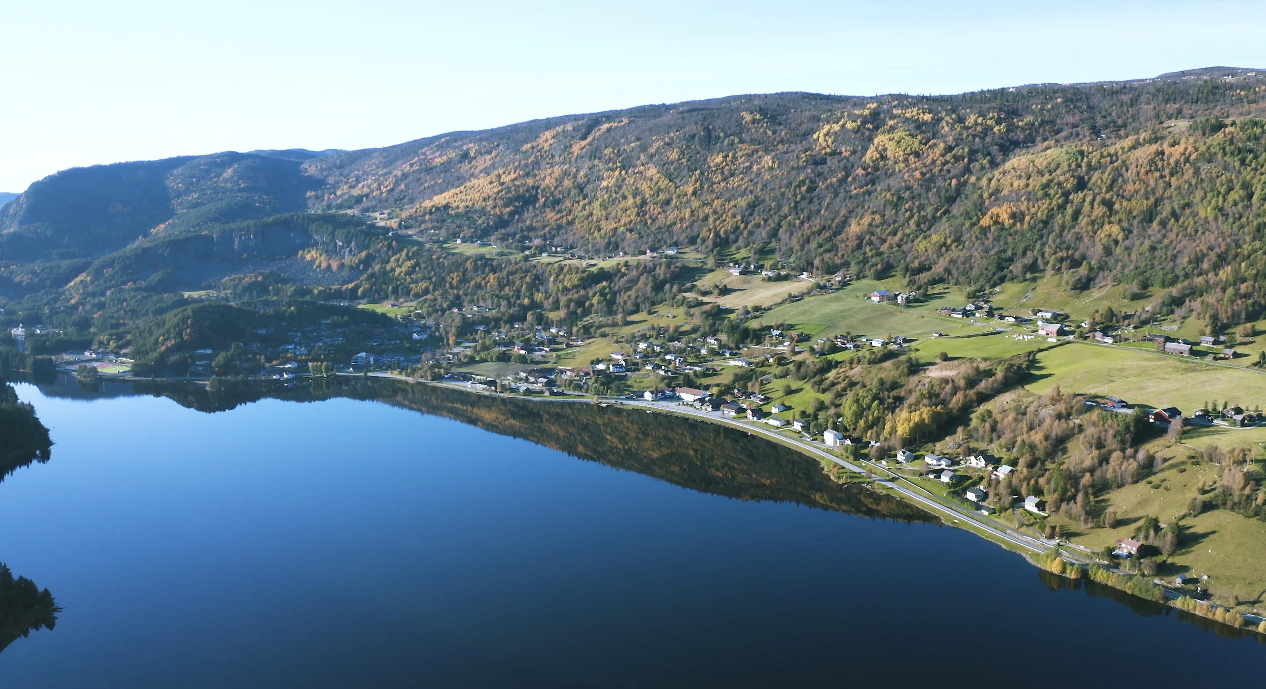
Route 50 emerged in 2014, when Visit Geilo began the work of becoming certified as a sustainable destination. The work required answers to 107 indicators, one of which concerned how many local food producers there were in the municipality. No one had a complete overview. So the county road from Hagafoss to Geiteryggen was used as the starting point for a concrete survey.
The stretch was walked business by business, from Hagafoss westward towards the mountain. The result was surprisingly strong: 27 businesses were registered along the road. There were lodging, catering, mountain-pasture farming, ski activities, cabin rentals, local food and small-scale tourism. Among them were Holestøl Apartment, Hallingskarvet Skisenter and several businesses linked to Hallingskarvet and the villages along the road.
The survey showed that county road 50 was not merely a transport route between east and west. The road could also be read as a line of experiences through Hol: from farms and villages, via local food and mountain-pasture landscape, up towards the high mountains and on to western Norway. This was the start of the Route 50 project.
Funding was sought to develop the idea further, and the project received about 75,000 kroner. The money was used to document the road, the businesses and the possibilities. Photographer Emil Holba was sent around to photograph settings, businesses, landscapes and situations along the route. At the same time, a report was written on the potential for a business network along Route 50.
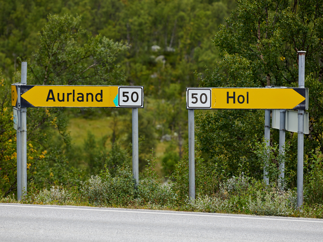
The project also gained its own expression. The slogan «A day trip for a lifetime — Route 50» was used in presentation material, and Route 50 was described in the first catalogue produced in connection with the work. Simple graphic elements were developed, including a shield with the number 50, and the idea later appeared on signs at Hagafoss.
Route 50 was originally intended as a broader network for the businesses along the county road. The ambition was for the businesses to see the value of standing together around a route, not just as individual companies. Those along the road were encouraged to contribute financially to develop the route further. The project was therefore about tourism, local identity, food, transport history and cooperation alike.
At the same time, another thread grew out of the same work. Through the sustainability process, one also had to answer how many lodging and catering places in the municipality had local food on the menu. The answer was zero. This made the local-food question more urgent. In conversations among local players the idea of a stronger food collaboration emerged, and at about the same time the name Ostebygda appeared in the media.
Thus Route 50 became a seedbed for what later became Ostebygda. The project provided overview, language, images and direction. It showed that there was a concentration of producers, eateries, mountain pastures and tourism players along the road. Over time the focus shifted more towards local food and cheese, but much of the groundwork had been laid through the Route 50 work.
When Geilo later received a diploma for its work on sustainable tourism, Route 50 was highlighted as a good example. Mayor Petter Rukke took the idea to heart and used the project as an illustration of how sustainability work could be made concrete: not as an abstract strategy, but as a survey of actual values along a road.
On the Visit Geilo board, not everyone was equally convinced of Route 50 as a concept. The project therefore did not carry the same force onward as its own initiative. But the idea did not disappear. It was in practice carried on through Ostebygda — through work on local food, signage, presentations and later communication of the area along county road 50.
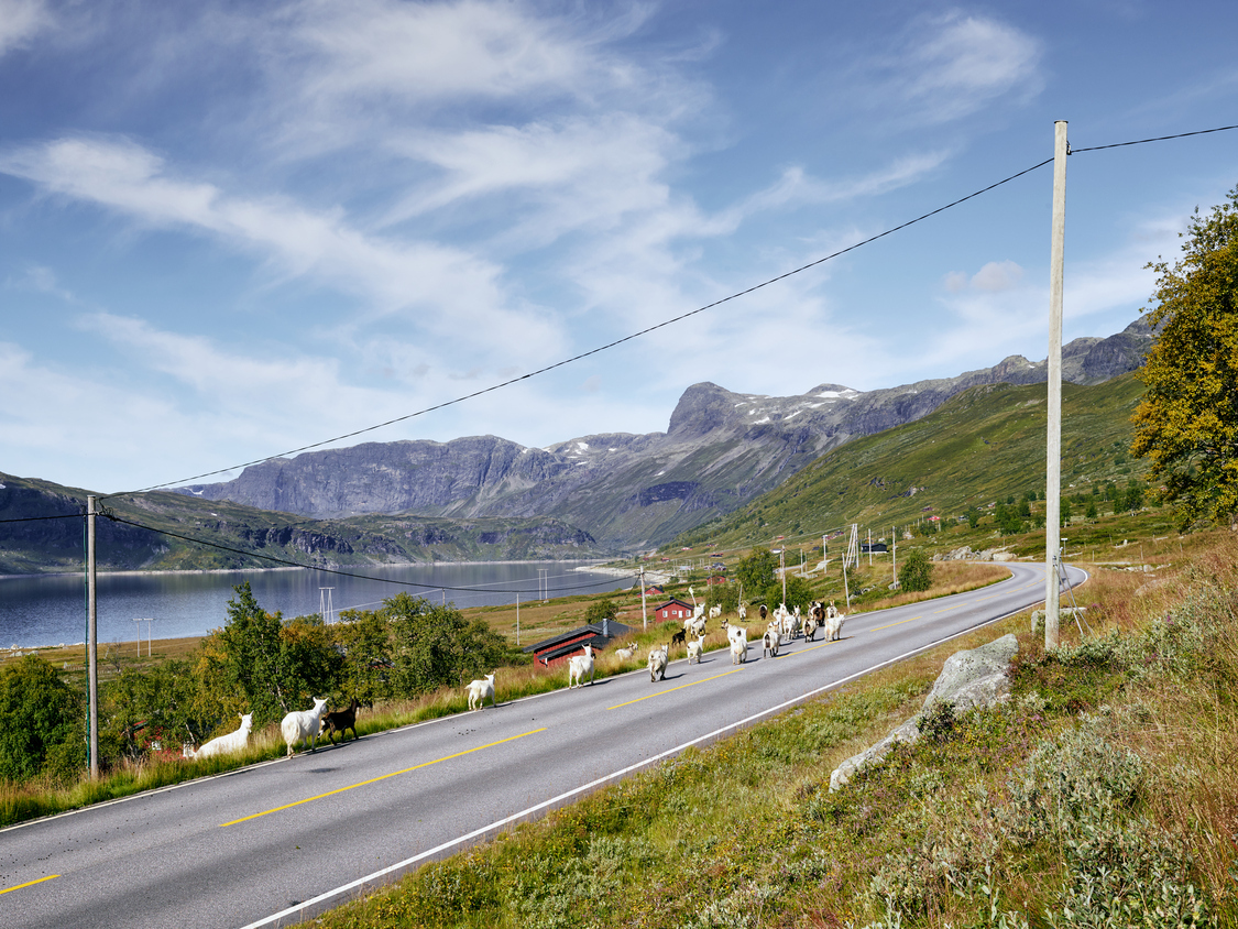
Emil Holba’s photographs remain important documentation from this early phase. They show, among other things, Hagafoss from Berget, settings along the road, local lorries, Mylo and other motifs that capture business, landscape and movement alike. The pictures document a time when county road 50 was being lifted up as more than a through road — as a route with its own identity, its own history and its own potential.
Route 50 was never just the name of a road. It became an attempt to gather the story of the mountain road, the villages, the food, the businesses and the link westward. In this way the project became a link between the old transport history of Hol–Aurland and the newer tourism and local-food story of Ostebygda.
The project today
Route 50 never quite disappeared. Even though the project died out as an organised initiative, the name, the idea and the logo remained.
In the early phase, when Visit Geilo was working on Route 50 as a concept, Anders Medhus was asked to create a logo for the project. At the time, Pål Medhus was tourism director and head of Visit Geilo. The logo was made, but as the project gradually lost momentum, the visual identity too was left unused.
In 2024 Knut Medhus took the initiative to put up an information sign at Hagafoss. The aim was to make the offerings in eastern Hol visible and at the same time to promote county road 50 as a beautiful and interesting option for those driving between Hol and Bergen. With that, the Route 50 idea returned to practical use.
Thus the thread from the original project was taken up again. Pål Medhus had been central when Route 50 first came about through Visit Geilo. His brother, Anders Medhus, had made the logo in the first phase. Now Anders, through Hallingcast AS, was brought back in to develop a website and signage material for the new initiative.
Hallingcast AS has taken responsibility for the website, structure, content and signs for the project, free of charge for the participating businesses. The work has been done to give something back to the villages of eastern Hol, and to highlight the local economy, the road itself and the tourism experiences found along this part of county road 50.
The project today therefore rests on several layers: the old transport history of Hol–Aurland, the Route 50 idea from the Visit Geilo period, the local-food and Ostebygda thread, and the sign initiative at Hagafoss. Together these make Route 50 a continuation of an older idea — that the road through eastern Hol has a value of its own, both for those who live here, those who run businesses here, and those who choose this route westward.
The construction years on film
This 8mm film from the 1970s was made by Oddvar Øygard AS and shows the building of the road between Hol and Aurland — the machines, the mountain, and the people who pushed the road through some of the toughest terrain in southern Norway. A rare glimpse of what it took to connect east and west. Shown with the rights holder's permission.